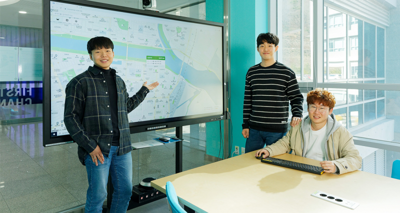
A map created by Jiwan Kim (School of Design and Human Engineering), Taeyoon Kim (Creative Design and Engineering), and Daeseong Jeon (School of Business Administration) offers the most up-to-date information on COVID-19 in Ulsan region.
A group of students at UNIST has recently created a map to help track the spread of the novel coronavirus (COVID-19) in Ulsan region.
The map not only tracks the spread of the outbreak using open data, but also provides necessary information citizens need, including real-time travel routes of confirmed cases, up-to-date information about face mask availability, and clinic locations. For more information about the map, click here.
The group who created this tracking map consists of Jiwan Kim (School of Design and Human Engineering), Taeyoon Kim (Creative Design and Engineering), and Daeseong Jeon (School of Business Administration).
“As the COVID-19 spreads rapidly throughout the nation, there has been several issues associated with an error occurred while retrieving sharing information, as well as some minor differences in the scope of the information provided for each region,” says the group. “Thus, we have decided to keep people up-to-date on the spread of COVID-19 with a tracking map.”
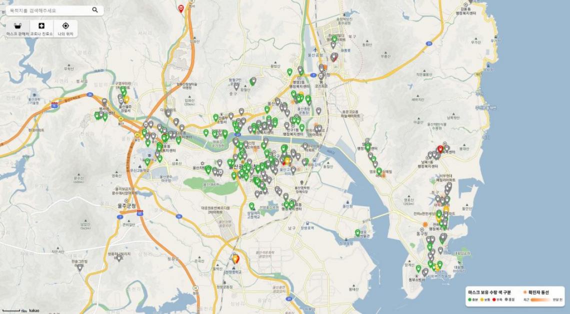
A screenshot of COVID-19 tracking map website for Ulsan region by UNIST students.
The map provides the most up-to-date information on areas, associated with the reported confirmed and suspected cases of COVID-19 in Ulsan. Users can search their surroundings based on their current locations. The displayed areas on the website are light-colored, according to the elapsed times of each subject visit, thus indicating that preventive measures have been taken against the outbreak. At the same time, the map also gives the most up-to-date information about face mask availability and the location of clinics nearest you.
The website tracks the spread of COVID-19 cases and the current status of available masks using data collected from the Open Data Portal, as well as the real-time sharing of epidemiologic data from Ulsan Metropolitan City. The map is updated automatically every 10 minutes. Information related to the locations visited by confirmed cases is registered in real time.
“Thanks to my two friends who were willing to participate in this project, I was able to create this map,” says Jiwan Kim. “We hope that our efforts can help the nation fight against the pandemic.”
The three students are working to create a more accurate and convenient system with feedback from users. At the same time, they plan to release the source code to this map, so that it it not only limited to Ulsan region, but also in many other regions.